Tostón Lighthouse
Lighthouse on Fuerteventura, Spain
Lighthouse
28°42′56″N 14°00′50″W / 28.715561°N 14.013810°W / 28.715561; -14.0138101950s (second)
7 metres (23 ft) (first)
15 metres (49 ft) (second)
The Tostón Lighthouse (Spanish: Faro de Tostón) or El Cotillo Lighthouse is an active lighthouse on the Canary island of Fuerteventura. The lighthouse is situated on the northwestern coast of the island near to the village of El Cotillo, in the municipality of La Oliva. In conjunction with the lights at Pechiguera and Punta Martiño, it marks the narrow La Bocayna strait that separates Fuerteventura from the adjacent island of Lanzarote.[1]
History

The current lighthouse is the third in a succession of lights that have operated at the site on the promontory of Punta Tostón, which is also known as the Punta de la Ballena (whale point).[1]
The original lighthouse was opened in 1897, and consisted of a 7 m high plain masonry tower on one corner of the single storey keeper's house. In the 1950s a new 15-metre concrete tower was constructed, which was also superseded by a taller tower in the 1980s. This distinctive 30 m concrete tower, which is white with red bands, has a focal height of 35 m above the sea. Its light can be seen for 14 nautical miles, and consists of a flash of white light every eight seconds.[2]
The original keeper's house has been renovated and reused as a museum with a small café. Visitors to the museum which contains an exhibition describing the traditional fishing of the island, can also climb to the top of the 1950s concrete tower.[2][3]
A short c. 1 km self-guided walking trail circles the lighthouse. Multilingual signs describe the geology, shellfish and wildlife found on the headland. Most notable is the description of the Aljibe, a water collection system, next to the road leading to the lighthouse, which was used to provide drinking water for the keepers and their families.[2]
class=notpageimage|
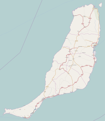
Map showing the principal lighthouses of FuerteventuraSee also
 Engineering portal
 Spain portal

References
- ^ a b Rowlett, Russ. "Lighthouses of Spain: Canary Islands". The Lighthouse Directory. University of North Carolina at Chapel Hill. Retrieved 5 December 2014.
- ^ a b c "Museum of Traditional Fishing". Museums. artesaniaymuseosdefuerteventura.org. Archived from the original on 30 November 2012. Retrieved 5 December 2014.
- ^ "Exhibition "Traditional fishing" El Cotillo". Retrieved 6 December 2011.
External links
Wikimedia Commons has media related to Faro de Tostón.
- Comisión de faros Archived 4 April 2016 at the Wayback Machine
- Autoridad Portuaria de Las Palmas de Gran Canaria
- v
- t
- e
| Fuerteventura | |
|---|---|
| Gran Canaria | |
| Lanzarote |

| El Hierro | |
|---|---|
| La Gomera | |
| La Palma | |
| Tenerife |
 Spain portal
| Authority control databases: Geographic |
|
|---|


