King’s Caple
| Państwo |
| ||
|---|---|---|---|
| Kraj |
| ||
| Region | West Midlands | ||
| Hrabstwo | Herefordshire | ||
| Populacja • liczba ludności |
| ||
Położenie na mapie Herefordshire 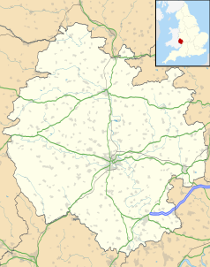 | |||
Położenie na mapie Wielkiej Brytanii  | |||
Położenie na mapie Anglii  | |||
 51°57′25″N 2°38′21″W/51,956944 -2,639167 51°57′25″N 2°38′21″W/51,956944 -2,639167 | |||
| |||


King’s Caple – wieś w Anglii, w hrabstwie Herefordshire. Leży 13 km na południowy wschód od miasta Hereford i 181 km na zachód od Londynu[1].
Przypisy
- ↑ King’s Caple na mapie. getamap.ordnancesurvey.co.uk. [dostęp 2010-10-06]. (ang.).


