Cherek
River in Kabardino-Balkaria


• coordinates
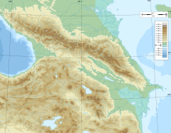
The Cherek (Russian: Черек) is a river in Kabardino-Balkaria in Russia, a right tributary of the Baksan (Terek basin).[1] The Cherek is 79 kilometres (49 mi) long and drains a basin of 3,070 square kilometres (1,190 sq mi).[2] The Cherek is formed by the confluence of the Cherek-Balkarsky and Cherek-Khulamsky, both of which originate in the glaciers of the northern slopes of the Greater Caucasus, one of them being the Bezengi Glacier.[1] The river Nalchik flows into the Urvan, which is a branch of the Cherek.[3]
Gallery
-
 Cherek. July 2009
 -
 Cherek. July 2009
 -
 Cherek. July 2009
 -
 Cherek. July 2009


References
Portal:
 Russia
- v
- t
- e
 | This article related to a river in the North Caucasian Federal District of Russia is a stub. You can help Wikipedia by expanding it. |
- v
- t
- e


