Achgarve
Human settlement in Scotland

Achgarve
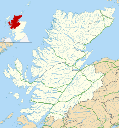
Location within the Highland council area
- Highland
- Caithness, Sutherland and Easter Ross
- Caithness, Sutherland and Ross
Achgarve (Scottish Gaelic: An t-Achadh Garbh - the rough field[1]) is a small coastal crofting and fishing hamlet, situated between Gruinard Bay and Loch Ewe on the Rubha Mòr peninsula,[2] in the north west coast of Ross-shire, Scottish Highlands.[3] An old track leads from Achgarve across the peninsula to the deserted village of Slaggan at Slaggan Bay to the west.[4] A path also leads to Mellon Udrigle to the north of Achgarve and a coastal part connects it all the way around to Slaggan and then back to Achgarve.[5]
References
- ^ Iain Mac an Tàilleir (2003). "Placenames collected by Iain Mac an Tailleir". Scottish Parliament. Archived from the original on 25 December 2010. Retrieved 29 January 2011.
- ^ Lister, John Anthony (May 1978). The Scottish Highlands. Arco Pub. Co. ISBN 978-0-668-04242-0. Retrieved 28 January 2011.
- ^ "The Gazetteer for Scotland profile". Retrieved 11 March 2010.
- ^ Smith, Roger; Woolnough, Kristina (1992). Highlands and islands. W & R Chambers. p. 77. ISBN 978-0-550-22100-1.
- ^ "Opinan to Greenstone Point & Slaggan". Nafirchlis. Archived from the original on 27 May 2011. Retrieved 28 January 2011.
| Authority control databases: National |
|
|---|
- v
- t
- e


